The Outcrop
3 Boulder Problems
Description:
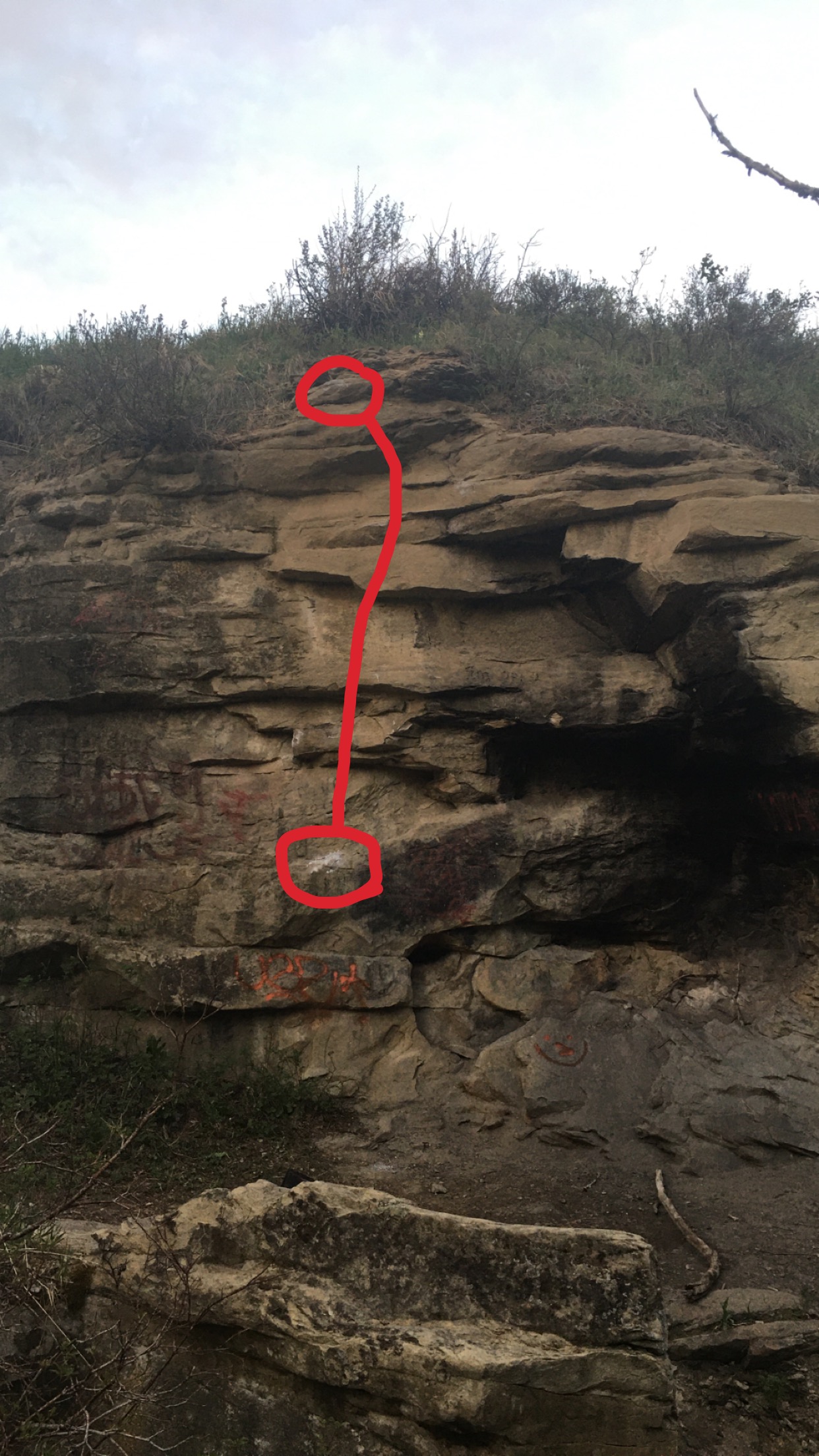
The boulder is a small sandstone wall with a small black cave that people have made fires in. Approach time is a few minutes
Directions / Travel Info:
Park on Tuscany Ravine Rd at the following coordinates:
Latitude: 51.110639
Longitude: -114.232441
From there use the bike path that leads into the trees. Once on the bike path turn left after 20 meters to go downhill then back uphill. At the top of the hill you will see a small yellow sign facing the other way that says 'slow', it's about 4 meters before this sign that you turn right onto a dirt trail and head down into the ravine. Once you hit the bottom at the 3 way, turn right. You'll cross a small wooden bridge then the trail will proceed left and you should start to see the rock.
Boulder coordinates are
Latitude: 51.111503
Longitude: -114.229596
Latest Sends
-
 Wacky Cracky, V3duncangregson (redpoint) 2022-03-27
 -
duncangregson (flash) 2022-03-12
-
Couleeo, V2duncangregson (redpoint) 2021-06-01


