The Book Club
2 Sport Climbs
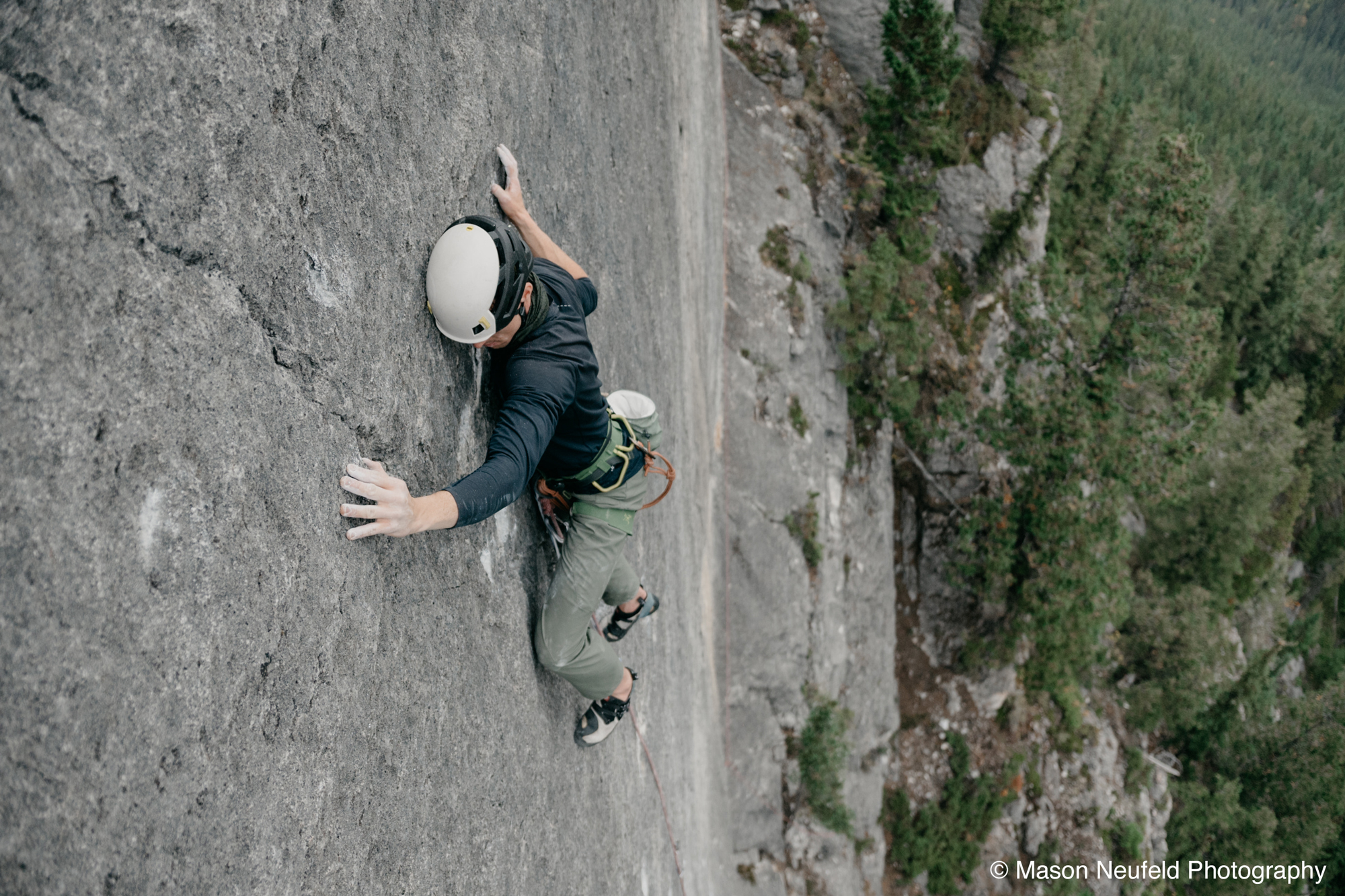
Description:
Rodents ate the hand-drawn topo that used to be in the bucket up there, so crag photo provided below. All routes are accessed by rapping in - bring a jumar. Cold temps, sticky rubber, and good skin are essential! Most routes are still projects here.
This wall is the diagonal, flat-looking face at the top of the hill above the Bayon, visible from the highway and at certain points along the creek. The climbing is pretty condition-dependent, so here are some tips to save you from hiking in and shredding your skin or otherwise just having a bad time:
• The wall gets morning sun and afternoon shade.
• It's relatively exposed and almost always gets strong wind, even when it's calm on the hike in.
• Even in a light rain, the top of the wall will get wet. Keep in mind that this is your entry/exit route and it's presumably not a great place to be if there's a chance of lightning.
• Just about all chalk will wash off the routes after a day of rain.
• If you don't know what antihydral is or you're not a masochist, this might not be the crag for you.
Directions / Travel Info:
Take the trail on the right side of the Bayon up the hill, following the pink flagging tape and vague trail. Once you get to a short wall of blue limestone, hike to the right until you can go up again. Stop once you can't hike upward any more and have reached a little clearing. Approach time is about 45-60 mins from the parking lot.
GPS track to crag.

