The Landscape of Nebulous Time
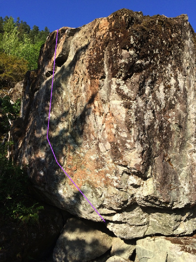
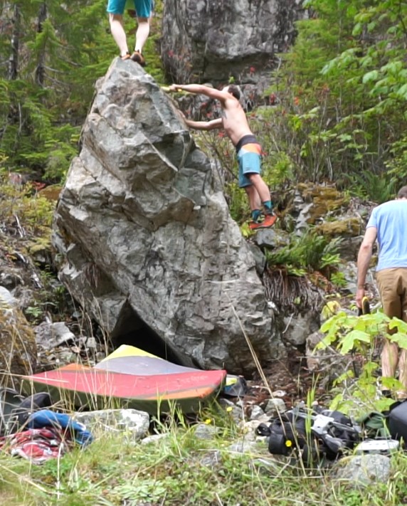
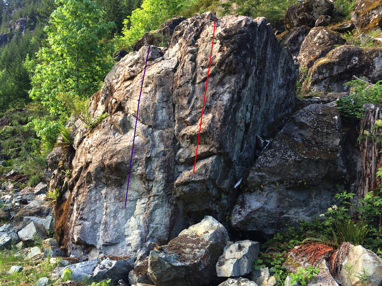
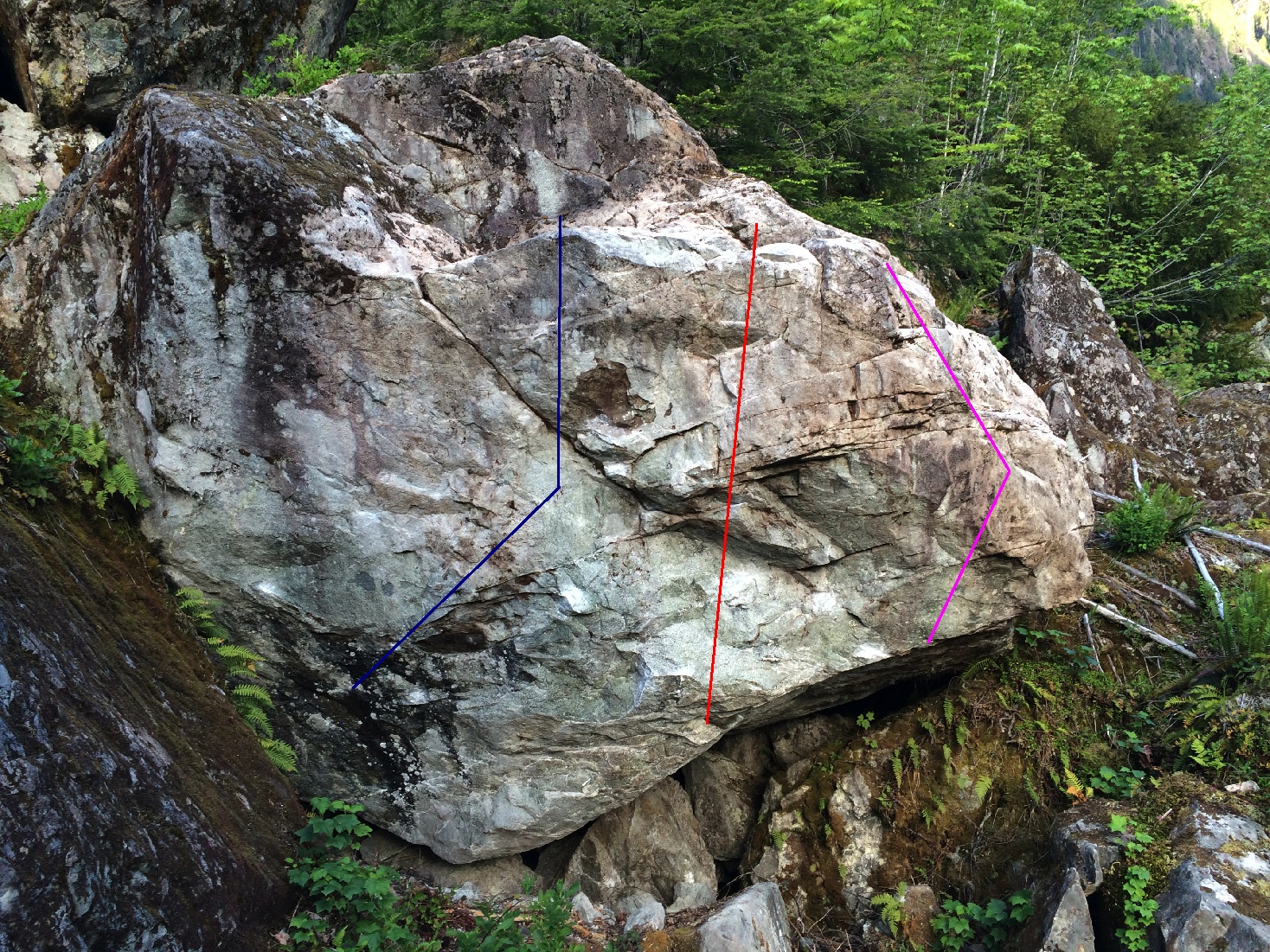
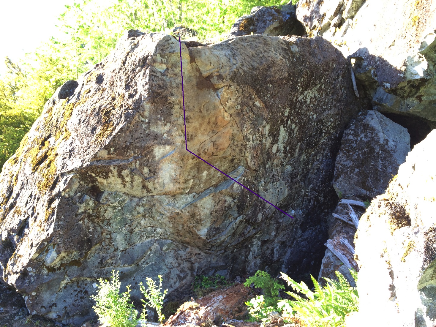
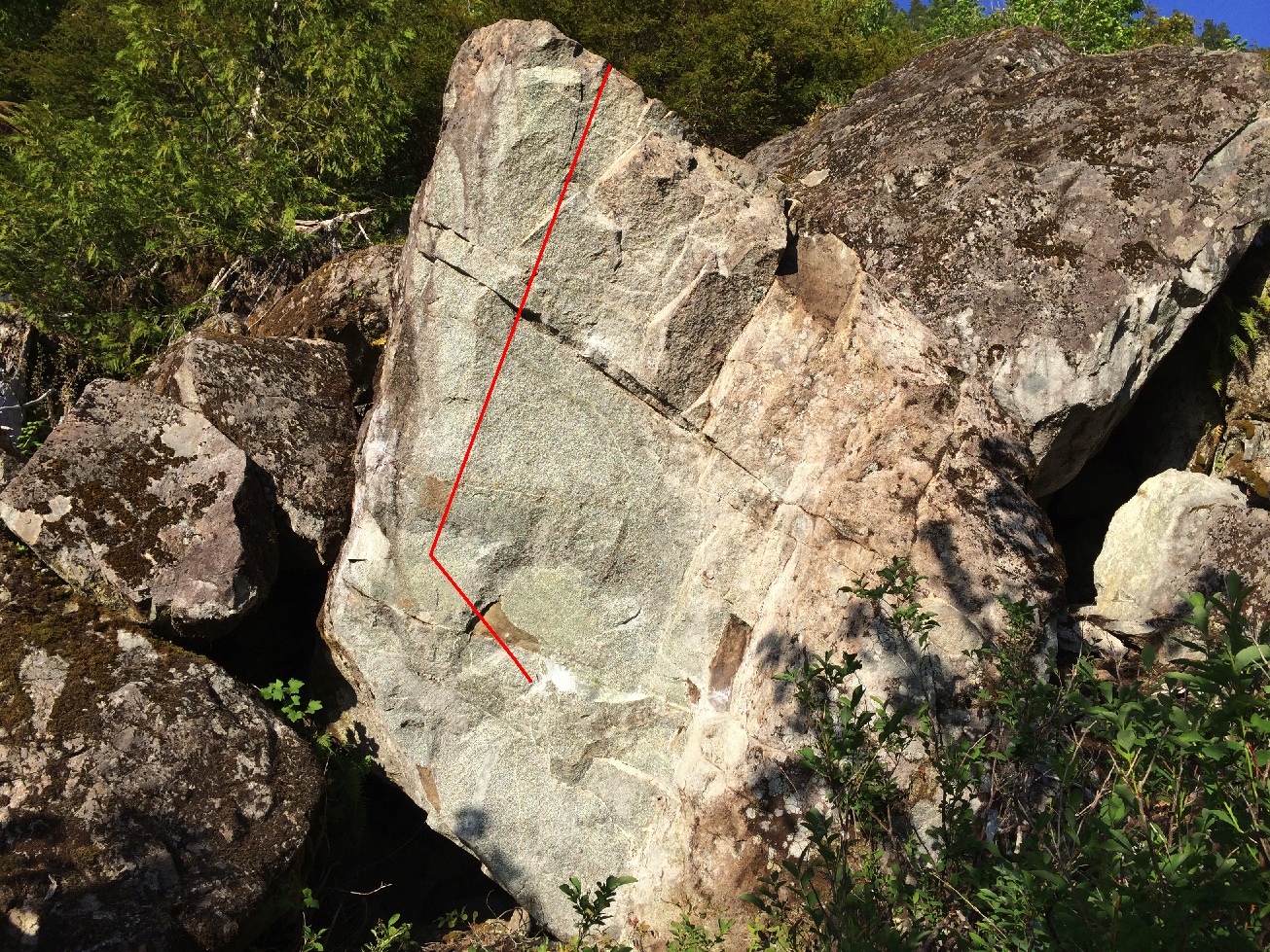
23 Boulder Problems
Description:
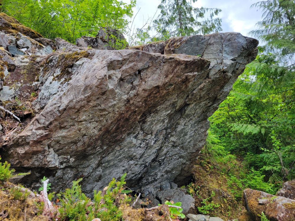
The Landscape of Nebulous Time refers to the boulders along the slope to the east of South Sutton Creek that flows down the valley between Mount Gibson and Adder Mountain. The road leading along the river separates the Hydro Project boulders to the west and the Landscape of Nebulous Time to the east.
NEW GUIDE DRAFT - CLICK HERE
Directions / Travel Info:
Just look in the guide for current direction info.
View on Google MapsLatest Sends
-
 Uncle Monty, V6griffin fisk (redpoint) 2025-06-22
 -
 Uncle Monty, V6Lucas Dunbar (redpoint) 2025-06-10
 -
 You Rampallian, V8Benjamin A. Walker (redpoint) 2025-05-17
 -
Benjamin A. Walker (redpoint) 2025-05-10
-
You Fustilarian, V7Benjamin A. Walker (redpoint) 2025-05-10


