Glen Lake Crag
29 Sport Climbs, 1 Trad Climbs
Description:
Introduction:
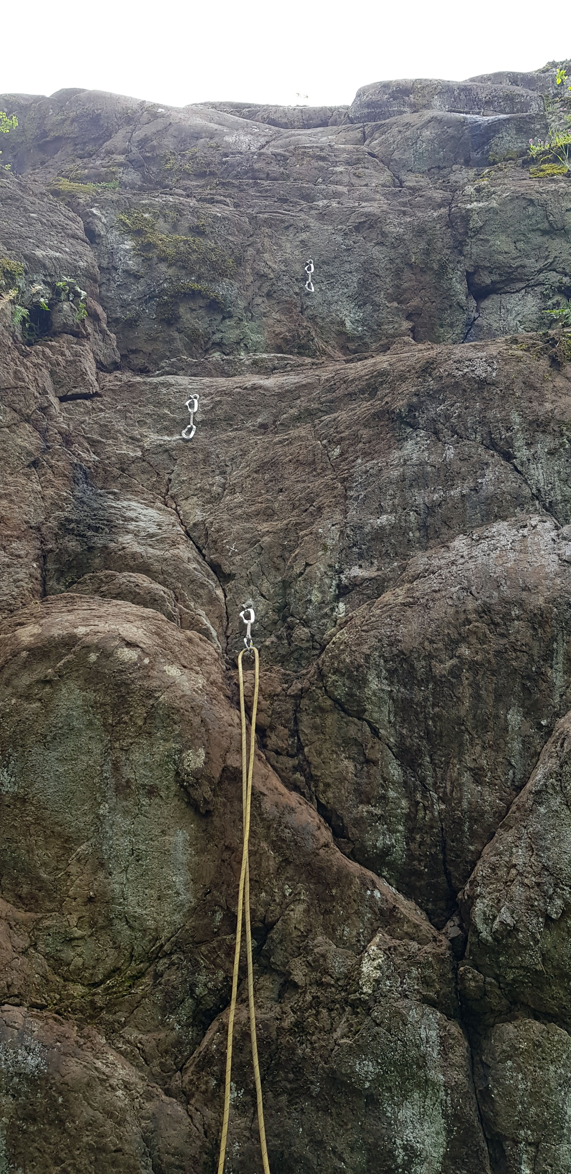
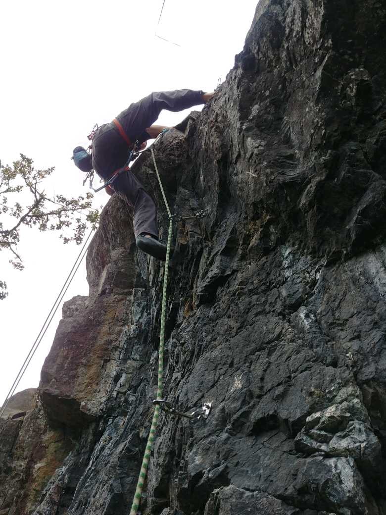
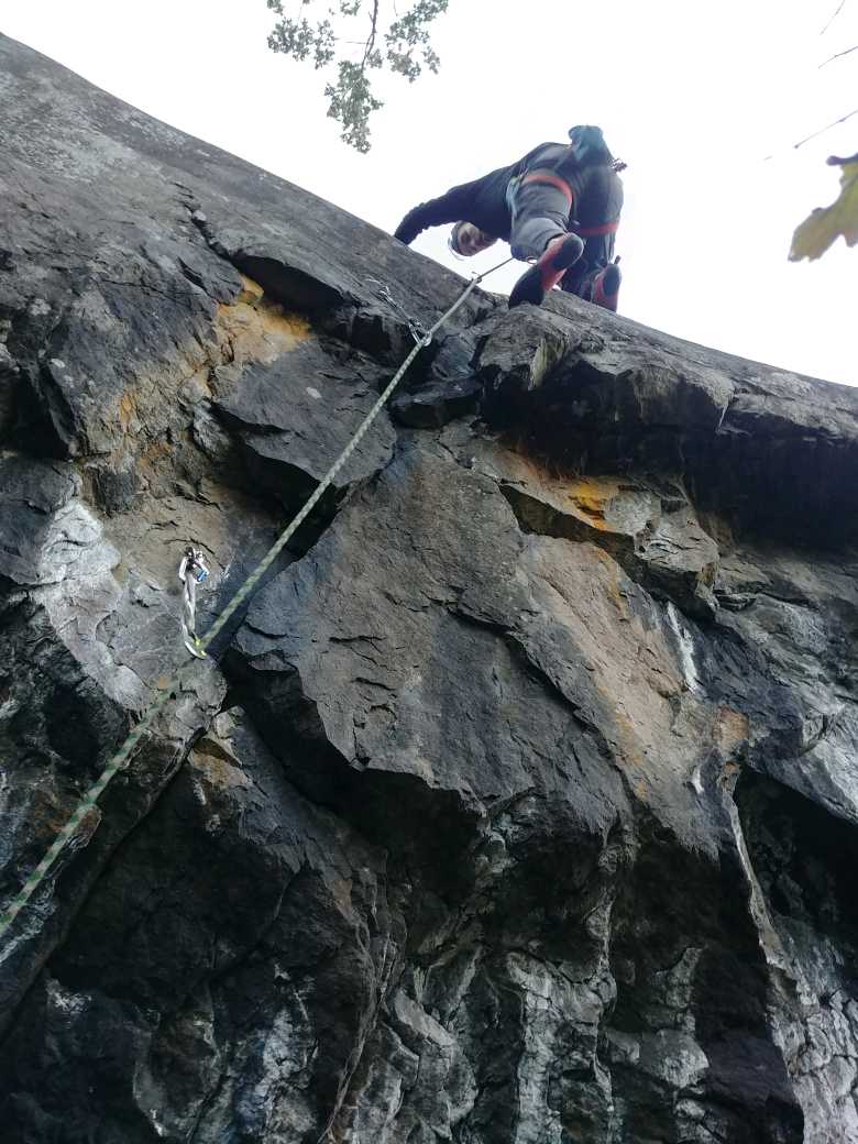
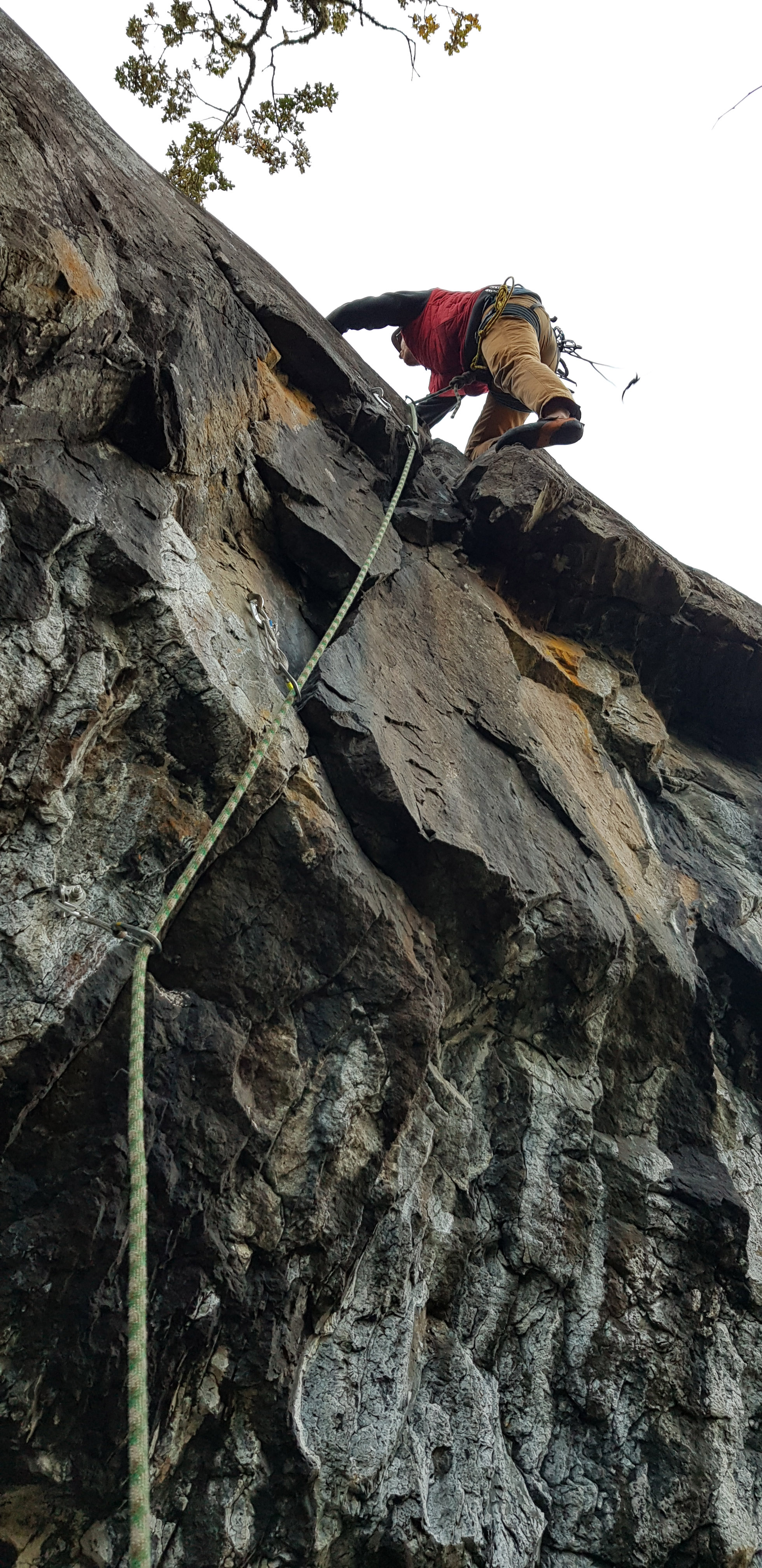
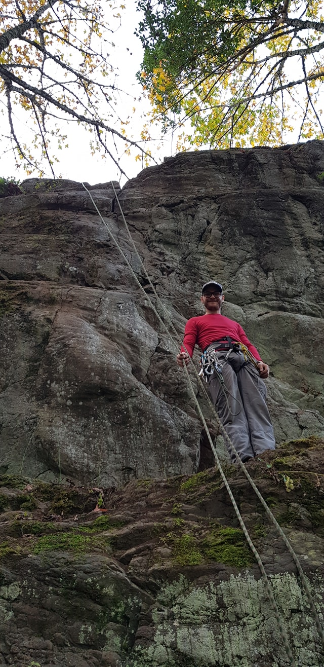
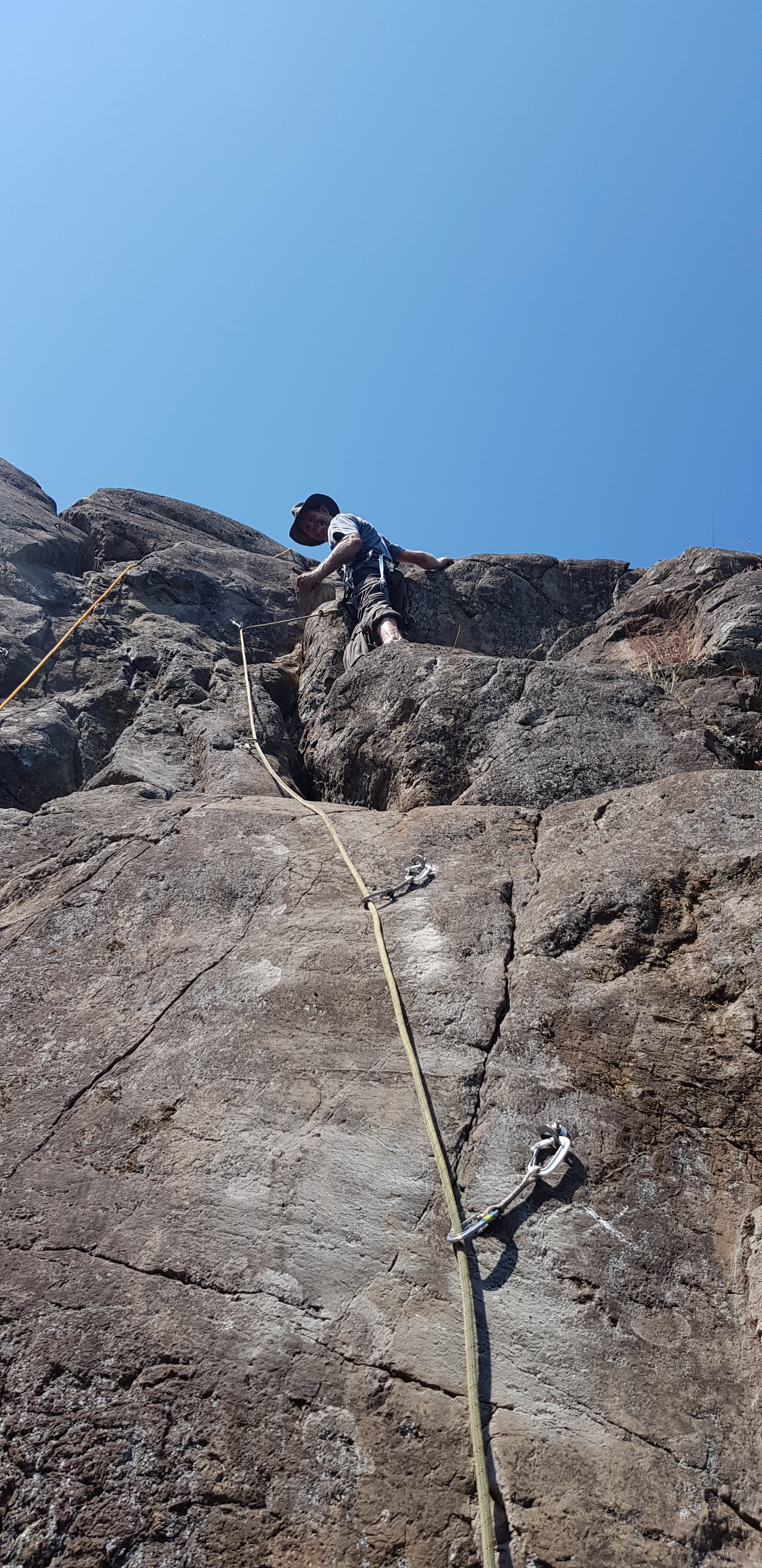
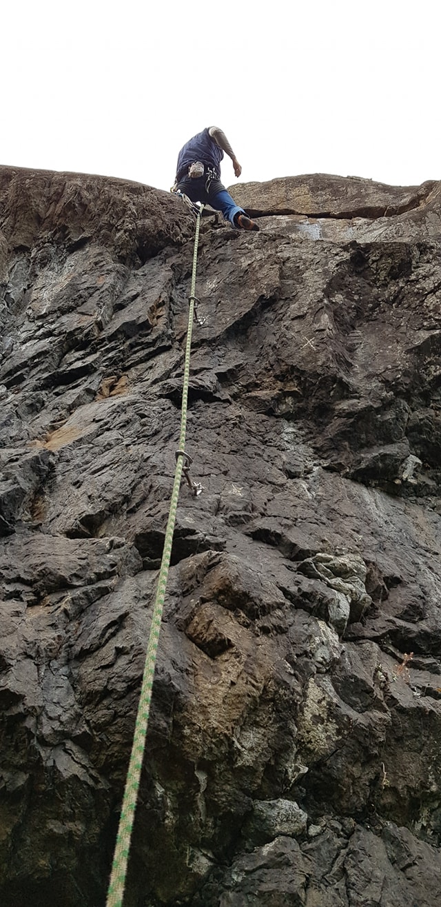
The Glen Lake crag offers relatively easy access, close proximity to Greater Victoria, and caters to beginner and intermediate climbers with routes ranging from 5.7 - 5.11- , from low-angle to slightly overhanging with at least one overhanging pump fest. The view from the top, back towards Victoria, is spectacular. The rock is good quality weathered basalt – lots of friction and many edges and flakes. It is located 5 minutes’ drive from the Westshore Town Centre in Langford, or 15-20 minute drive from downtown Victoria.
Notes:
• Hundreds of hours have been put in to the development of this crag. Yet, there are still plenty of undeveloped walls, ie. Black Beauty, at Glen Lake that we would love people to come out and develop. Our hope is that anyone wanting to put routes up here reaches out to us because we believe that we have a very good understanding of the area and could be of great help to you.
• A helmet is suggested – the rock is great, but because the routes are new they still need some mileage. There is also a fair bit of loose rocks at the top, much like the South Cliffs of Mt. Wells.
• The area is South West facing, and gets morning to mid-afternoon sun.
• The routes with a star beside their name, are the best in my opinion.
For more info and a free guidebook find us on Facebook - Glen Lake Crag. https://www.facebook.com/groups/299312767070589/
Directions / Travel Info:
Location:
Glen Lake Crag is located 10 kilometers west of Victoria. Current parking and access is easiest on the side of the Westshore Parkway.
From Victoria, head North on TransCanada Highway #1 and turn left on to Westshore Parkway. Follow this road for about 3kms. You will continue straight through the first 2 roundabouts and at the 3rd roundabout, take the 1st exit and stay on Westshore Parkway. Reset your odometer and drive 1.4kms. You will arrive at the parking area when you see a fire hydrant on the right side of the road, near the base of the trail. Please park here, but do not park within 5 metres of it. We’d like to keep this access open for all to enjoy!
Coordinates: 48.434353, -123.539344
Approach:
Once you have found parking, look to the right of the fire hydrant and up the hill. Look for orange flagging tape on one of the big trees marking the approach trail Walk up this ravine for a minute until you come to a fork. Take climbers left to head up towards the Umbrage Wall, which is the first wall. To get to Dirt Stamp Wall keep on the trail until you find a trail that cuts right, up the rocks (see photo on next page).
If you turn right at the fork instead, it will take you to the base of the Karate Kid Wall.
Subareas:
Latest Sends
-
 Easy Does It, 5.7nicolaspennie (onsight) 2023-08-04
 -
Soft on Soft, 5.8nicolaspennie (onsight) 2023-08-04
-
Dirt Stamp, 5.8nicolaspennie (onsight) 2023-08-04
-
Going Solo, 5.8nicolaspennie (onsight) 2023-08-04
-
The Bat, 5.10cnicolaspennie (flash) 2023-08-04

